Construction Intel Drone Survey: A Strategic Framework for Aerial Intelligence
- Dan

- Jul 14
- 8 min read
Updated: Jul 15
Traditional ground-based surveys for sites exceeding five acres often incur 50% to 75% higher costs than modern aerial alternatives, yet they frequently deliver only a fraction of the data density required for complex infrastructure projects. You likely recognize that manual surveying delays of several days or even weeks represent a critical failure point in modern project lifecycles, where inaccurate volumetric measurements directly trigger significant budget overruns. This article demonstrates how a professional construction intel drone survey utilizing high-density LiDAR data and AI-driven geospatial analytics transforms site oversight into actionable enterprise intelligence. You'll learn how to leverage autonomous systems to achieve centimeter-level accuracy, maintaining tolerances under 2 inches, while streamlining automated progress reporting for real-time visibility. We provide a strategic framework for integrating these advanced data streams to reduce site risk and enhance overall safety protocols through precise, high-level oversight. This methodology replaces fragmented observation with a unified digital twin, ensuring that every stakeholder operates from a singular, authoritative data source.
Infographic Direction
Design Aesthetic: Minimalist architecture utilizing a white background with high-contrast typography to ensure technical clarity and readability.
Visual Content: A tripartite flowchart titled "The Aerial Intelligence Lifecycle," mapping the systematic progression from autonomous sensor acquisition (LiDAR and Photogrammetry) to AI-driven geospatial synthesis and the delivery of actionable enterprise reporting.
The Evolution of Construction Intelligence via Advanced UAV Systems
The implementation of a construction intel drone survey constitutes a systematic aerial data collection protocol utilizing specialized UAV hardware to replace legacy, manual observation methods. While traditional surveying relies on the periodic deployment of manual total stations, high-frequency autonomous aerial intelligence provides a continuous stream of georeferenced information. This shift marks a critical transition from qualitative visual records to quantitative geospatial data points. By synthesizing high-density datasets, project managers gain a unified intelligence layer that significantly reduces site risk and accelerates complex project timelines through proactive anomaly detection.
From Manual Oversight to Autonomous Data Streams
Ground-based monitoring for large-scale infrastructure remains inherently constrained by physical site accessibility and the slow pace of manual data capture. These limitations frequently lead to information latency that compromises decision-making. The integration of daily or weekly autonomous flight paths ensures absolute data consistency across the project lifecycle. Utilizing aerial photogrammetry and advanced sensor arrays, these systems generate persistent digital records that eliminate the gaps common in terrestrial inspections.
Defining Centimeter-Level Precision Standards
Strategic infrastructure projects demand rigorous accuracy, establishing a baseline requirement for tolerances under 2 inches. Achieving this centimeter-level precision depends on the synchronization of Real-Time Kinematic (RTK) systems or the precise placement of Ground Control Points (GCPs). These technical frameworks anchor the construction intel drone survey to absolute global coordinates. This rigor ensures that the resulting point clouds and orthomosaics meet the stringent specifications required for engineering-grade volumetric analysis and structural verification.
Technical Architectures: LiDAR vs. Photogrammetry in Construction Surveys
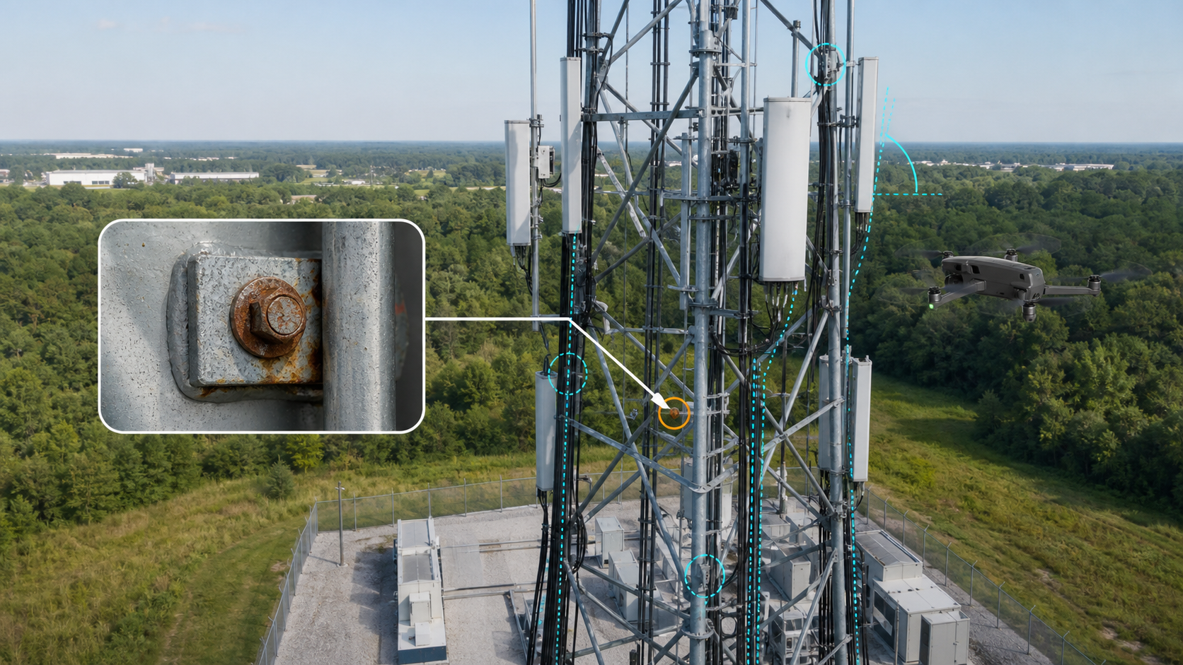
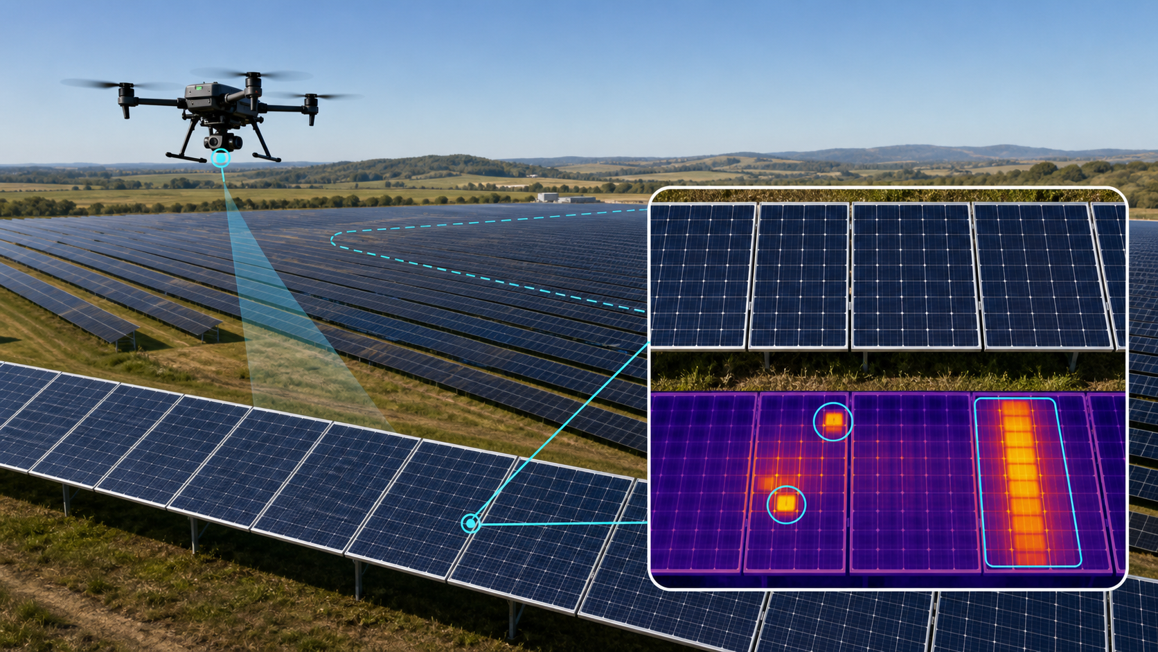
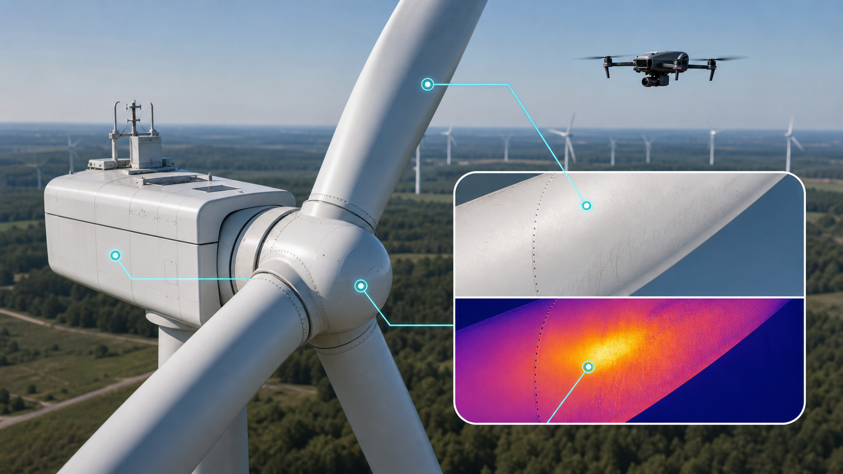
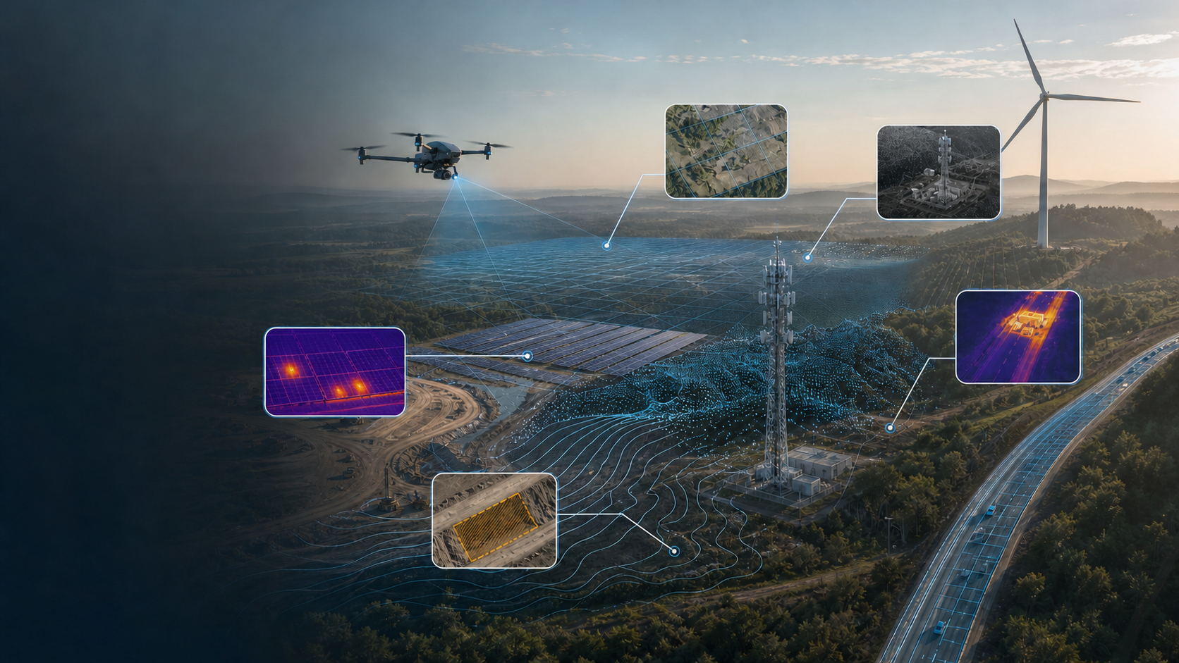
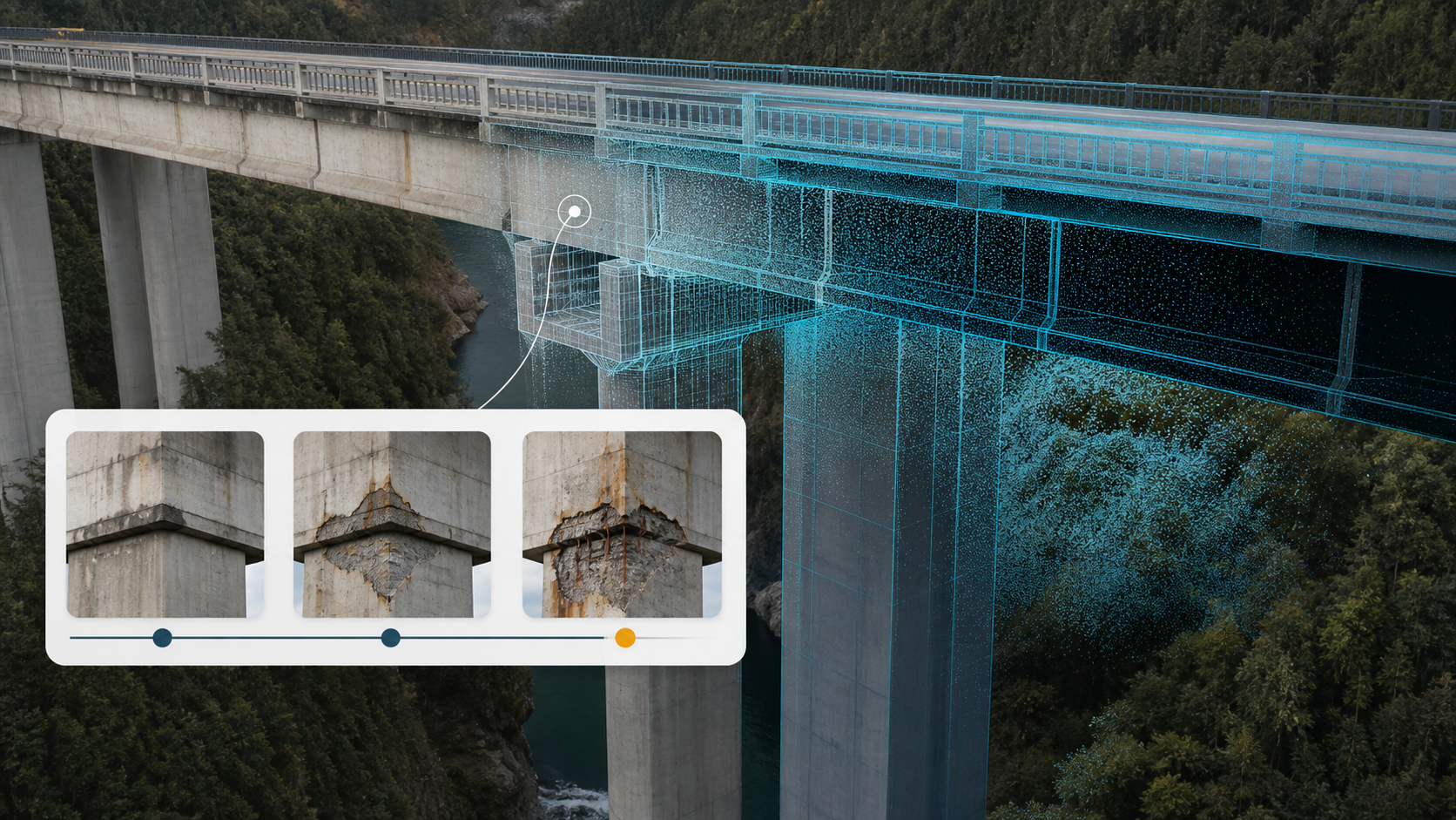
The selection of sensor architecture within a construction intel drone survey depends on the specific environmental variables and required data outputs of the project. While photogrammetry utilizes high-resolution visual imagery to triangulate spatial coordinates through overlapping perspectives, LiDAR (Light Detection and Ranging) employs active laser pulses to measure distance through time-of-flight calculations. This distinction is critical when mapping heavily wooded sites or complex infrastructure like bridges; LiDAR’s ability to penetrate vegetation and capture thin structural members provides superior terrain modeling where visual sensors fail. Integrating thermal sensors further expands the survey's utility, allowing for the identification of thermal anomalies in utility lines and building envelopes during comprehensive facade inspections.
LiDAR Point Cloud Analysis for Enterprise Assets
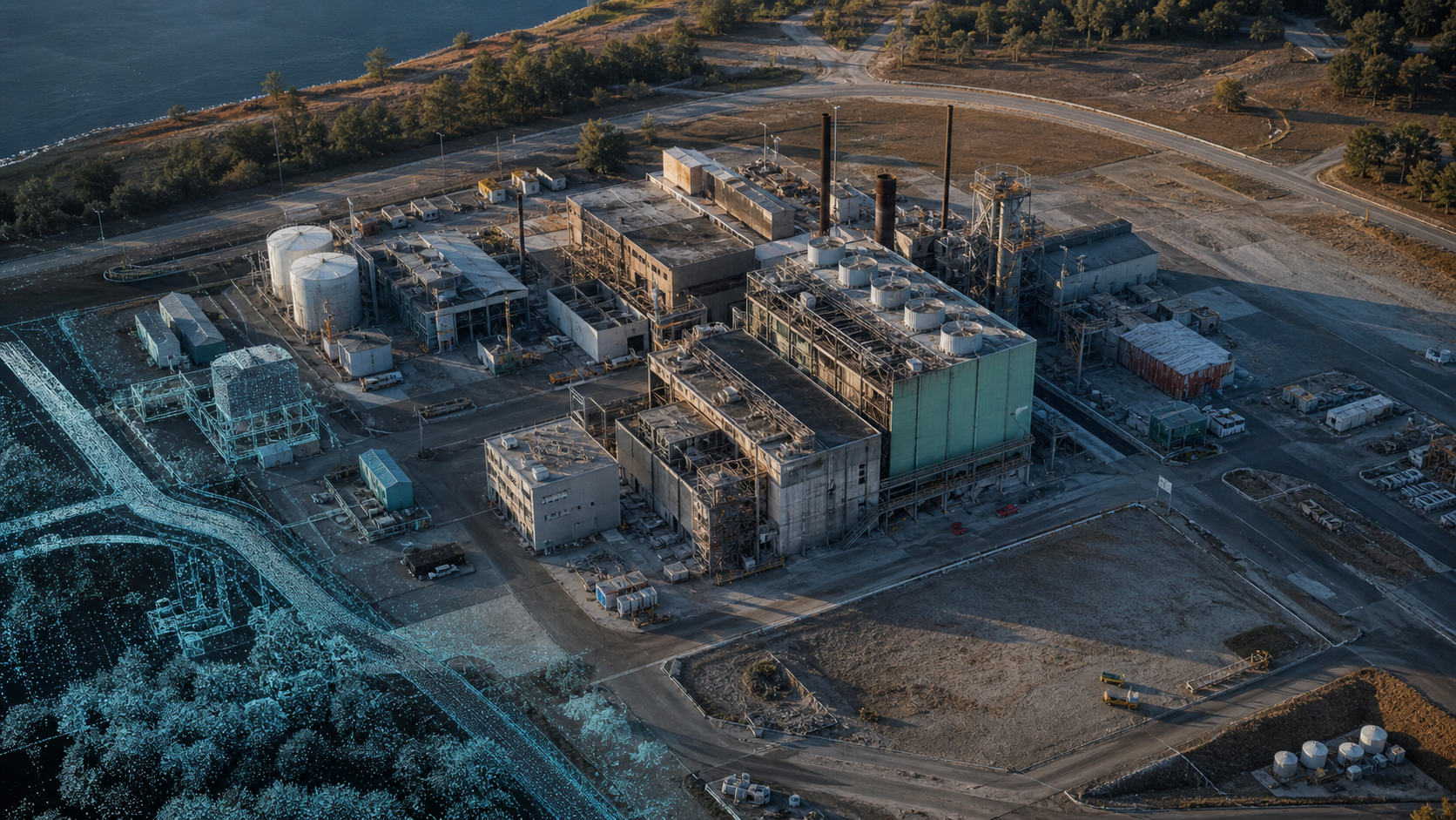
Converting raw LiDAR pulses into actionable intelligence involves the rapid synthesis of millions of individual return signals into a unified 3D point cloud. Each pulse return provides a precise X, Y, and Z coordinate, facilitating the creation of high-fidelity Digital Terrain Models (DTMs) even in obscured environments. LiDAR point cloud density, often exceeding hundreds of points per square foot, dictates the fidelity and structural integrity of infrastructure digital twins used in high-stakes engineering simulations. For those managing large-scale developments, implementing LiDAR data collection and analysis ensures that the resulting datasets meet the rigorous standards of modern structural engineering.
Photogrammetric Mapping and Orthomosaic Generation
Photogrammetric workflows transform thousands of high-resolution aerial images into georeferenced 2D orthomosaic maps through the process of orthorectification. This method corrects for perspective distortion and camera tilt, ensuring that every pixel represents a precise coordinate on a uniform scale. In the context of vertical building facades, photogrammetry provides exceptional visual detail for identifying surface-level defects. This high-density visual data allows stakeholders to perform accurate measurements of facade features, though it remains secondary to LiDAR for capturing geometric depth in shadows or complex overhangs.
Once vertical building facades are accurately mapped and structural integrity is confirmed, developers can utilize this precise data to plan sophisticated aesthetic finishes, such as custom murals; to explore the latest in wall printing technology, click here.

Operationalizing Drone Data: Progress Monitoring and Volumetric Analysis
The successful operationalization of a construction intel drone survey requires the transformation of raw point clouds into high-level enterprise reports. This process facilitates the precise quantification of site materials and the rigorous tracking of infrastructure development against architectural specifications. Beyond simple visualization, these datasets provide the mathematical foundation for earthwork optimization and regulatory audit trails, ensuring that project stakeholders maintain comprehensive oversight of large-scale operations.
Automating Stockpile and Earthwork Calculations
Drones measure material volumes within a consistent accuracy range of 1 to 2 inches, utilizing photogrammetric or LiDAR-derived surfaces to calculate cubic yardage. This methodology eliminates the safety risks and inaccuracies associated with manual GPS rover measurements. The return on investment is significant; automated aerial capture reduces the time required for comprehensive stockpile analysis from approximately 4 hours to 20 minutes. This efficiency allows for more frequent inventory audits and precise cut/fill analysis, which compares current site elevations against the target grading plan to optimize soil movement and minimize transport costs. For organizations seeking to implement these advanced workflows, Drone Mapping and Photogrammetry Services deliver the high-fidelity data required for rigorous volumetric analysis.
Aerial Construction Progress Monitoring Standards
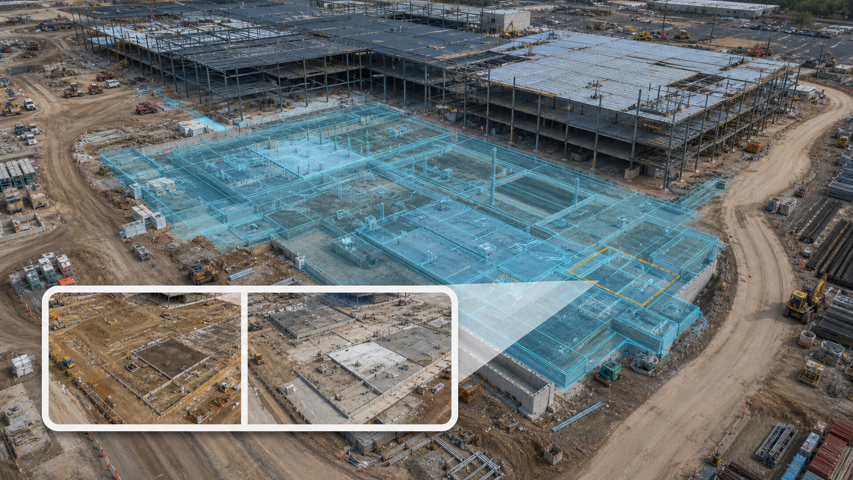
Maintaining a comprehensive visual and spatial record involves the systematic comparison of current site conditions against the original Building Information Modeling (BIM) files. This protocol identifies structural deviations early in the construction phase, preventing costly downstream remediation. High-level infrastructure projects typically require weekly or bi-weekly autonomous flight schedules to capture granular progress data. These recurring data streams generate automated progress reports for site executives, providing a transparent view of the project's health and ensuring compliance with local regulatory frameworks. By synthesizing these data points, project managers can verify that subcontractors are meeting precise design tolerances, maintaining the integrity of the enterprise asset throughout the construction lifecycle.
For developers focusing on luxury residential projects, where architectural precision is paramount, these data-driven workflows are essential for maintaining quality; learn more about Master Capital and their approach to premium real estate development.
Scaling Enterprise Geospatial Intelligence with DroneWorksIQ
DroneWorksIQ operates as a strategic partner for national infrastructure projects, providing the technical depth required to scale aerial intelligence across complex, high-stakes data environments. While standard software platforms focus on basic visualization, our methodology emphasizes the transition from raw sensor capture to high-level strategic geospatial consulting. This approach ensures that every construction intel drone survey contributes to a robust digital twin framework, facilitating long-term asset management and predictive maintenance cycles that extend far beyond the initial build phase. We prioritize the synthesis of disparate data streams into a singular, authoritative intelligence layer.
AI-Driven Feature Extraction and Predictive Analytics
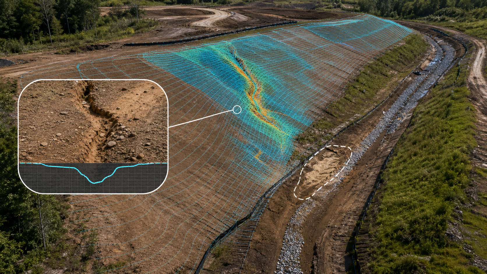
Machine learning algorithms facilitate the automated extraction of critical features from massive LiDAR datasets, identifying progress delays or potential safety hazards with clinical precision. These AI-driven geospatial analytics detect subtle erosion patterns or structural inconsistencies that human observation frequently overlooks. By automating the analysis of high-density point clouds, enterprise teams can anticipate logistical bottlenecks and reallocate resources before minor deviations escalate into significant budget overruns. This predictive capability transforms reactive site monitoring into a proactive risk mitigation strategy, leveraging autonomous systems to maintain project integrity.
Integrated Reporting for Strategic Decision-Making
Decision-makers require streamlined data synthesis to maintain operational momentum across distributed infrastructure sites. The delivery of drone inspection reporting services provides corporate executives with a structured intelligence layer for high-stakes oversight. To ensure data integrity and mission success, organizations should implement an enterprise operational readiness checklist prior to any large-scale deployment. This rigorous preparation, combined with AI-driven interpretation, transforms a standard construction intel drone survey into a primary driver of enterprise efficiency and long-term asset reliability.
Advancing Infrastructure Oversight through Geospatial Synthesis
The implementation of a high-fidelity construction intel drone survey establishes a baseline for rigorous site oversight, replacing fragmented observation with a unified intelligence layer. By synthesizing advanced LiDAR data collection and analysis with AI-driven geospatial analytics, enterprise stakeholders achieve the centimeter-level precision required for complex infrastructure projects. This transition from raw imagery to actionable reporting ensures that volumetric measurements and structural verifications remain within the strict tolerances of modern engineering. Scaling these operations across national project portfolios requires a partner capable of executing sophisticated data interpretation and strategic digital twinning. DroneWorksIQ provides the technical expertise and national enterprise deployment capability necessary to transform site data into long-term asset intelligence. Optimizing your project lifecycle begins with the integration of these autonomous systems to mitigate risk and accelerate delivery timelines. Request a Strategic Consultation for Your Infrastructure Project to establish a superior geospatial framework for your next operation. Achieving this level of precision ensures your organization remains at the cutting edge of industrial application.
Frequently Asked Questions
What is the typical accuracy of a construction intel drone survey?
A professional construction intel drone survey typically achieves centimeter-level accuracy, maintaining horizontal and vertical tolerances under 2 inches. This level of precision is established through the synchronization of Real-Time Kinematic (RTK) positioning or the deployment of Ground Control Points (GCPs). These technical frameworks ensure that the resulting geospatial datasets meet the rigorous engineering standards required for high-stakes enterprise projects.
How does LiDAR differ from photogrammetry in construction site mapping?
LiDAR utilizes active laser pulses to measure distance through time-of-flight calculations, whereas photogrammetry relies on high-resolution visual imagery to triangulate spatial coordinates. LiDAR is mandatory for mapping heavily wooded environments or complex infrastructure because it penetrates vegetation to capture true ground elevations. Photogrammetry provides superior visual detail for surface-level facade inspections and the generation of measurable 2D orthomosaic maps.
Can drone surveys be integrated into existing BIM or CAD software?
Drone-derived geospatial data integrates seamlessly into existing BIM and CAD software through standardized file formats such as .LAS, .TIFF, and .DXF. This interoperability allows project managers to overlay current site conditions directly onto original design models for rigorous progress verification. Such integration facilitates the immediate identification of structural deviations and enhances the fidelity of infrastructure digital twins used for long-term asset management.
What are the safety benefits of using drones for construction site inspections?
Utilizing autonomous systems for site inspections eliminates the requirement for personnel to enter hazardous environments, such as unstable slopes, high-elevation structural components, or active machinery zones. Drones provide comprehensive visual and thermal data from a distance, significantly reducing the risk of workplace accidents and falls. This remote sensing capability ensures that critical safety audits are performed without compromising the physical security of the survey team.
How often should a construction site be surveyed via drone for progress monitoring?
Enterprise-scale projects typically require a construction intel drone survey on a weekly or bi-weekly basis to maintain a comprehensive visual and quantitative record. This frequency ensures that data latency remains low, allowing site executives to respond to progress delays or logistical bottlenecks in real-time. High-frequency flight paths provide the consistent data streams necessary for automated reporting and earthwork optimization across the project lifecycle.