top of page
  • Youtube
  • Facebook
  • Twitter
  • Instagram
  • TikTok

Infrastructure Inspection: Advanced Aerial Intelligence and Engineering Data Integration

  • Writer: Dan
    Dan
  • Jul 19
  • 8 min read

Effective infrastructure inspection is no longer defined by the deployment of a drone; it's defined by the systematic transition from subjective visual observation to autonomous, evidence-based engineering intelligence. With aging assets currently maintaining an average ASCE "C" grade, the reliance on manual, high-risk physical assessments has become an unsustainable operational liability. Technical decision-makers recognize that raw imagery often remains trapped in data silos, failing to provide the actionable insights required for complex engineering decisions or long-term asset lifecycle visibility.

This article examines the integration of high-density LiDAR data collection and autonomous UAV systems to replace fragmented workflows with repeatable, compliant data streams. You'll discover how these advanced geospatial methodologies reduce inspection costs by up to 74% and mitigate site accidents by 91% through precise, remote sensing. We provide a comprehensive overview of the technical shift toward structural health monitoring, ensuring that every data point serves as a foundation for strategic industrial application and rigorous compliance standards. By aligning advanced aerial intelligence with engineering data integration, organizations can achieve a level of oversight that traditional methods cannot replicate.

The Evolution of Infrastructure Inspection: From Manual to Autonomous

Modern infrastructure inspection has transitioned from a localized visual assessment into a systematic, autonomous process for evaluating critical enterprise assets. This evolution is necessitated by the current state of domestic assets; the American Society of Civil Engineers (ASCE) continues to assign a "C" grade average to US infrastructure, signaling a systemic requirement for more rigorous oversight. The Evolution of Infrastructure Inspection reflects this shift toward high-fidelity data capture that prioritizes engineering intelligence over qualitative observation. By moving away from reactive maintenance, organizations can establish a baseline of repeatable data that ensures long-term structural integrity and regulatory compliance.

Limitations of Traditional Inspection Methodologies

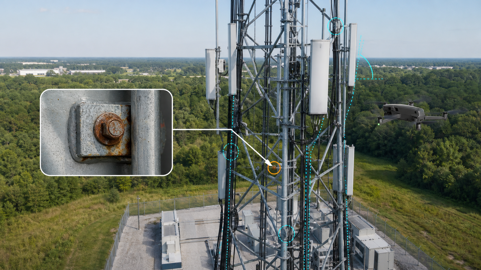
Traditional inspection protocols rely heavily on manual labor, requiring technicians to operate at heights frequently exceeding 50 feet. These methods utilize scaffolding, bucket trucks, or rope access, all of which introduce substantial safety risks and high operational insurance costs. Beyond physical hazards, manual reporting is hindered by a "subjectivity gap." A human inspector's visual report lacks the precision of digital evidence, often resulting in inconsistent data that fails to support complex engineering decisions. These localized observations don't provide the longitudinal visibility required for modern asset lifecycle management.

The Rise of Autonomous Aerial Systems

The implementation of autonomous UAV systems at DroneWorksIQ provides a controlled, repeatable alternative to manual intervention. These platforms execute precise, pre-programmed flight paths to ensure identical data capture over multiple inspection cycles, a critical requirement for evidence-based compliance. Autonomous systems allow for the non-destructive evaluation of hard-to-reach areas, including bridge undersides and high-voltage corridors, without the need for service interruptions. This methodology transforms infrastructure inspection into a streamlined data-to-decision workflow, providing the technical clarity needed for strategic industrial applications.

Advanced Data Capture: LiDAR and Photogrammetry Standards

Precision in infrastructure inspection is predicated on the selection of appropriate sensor modalities tailored to specific asset geometries. Aerial LiDAR (Light Detection and Ranging) operates as an active remote sensing technology, utilizing millions of laser pulses to generate high-density 3D point clouds. This methodology is particularly effective for utility and pipeline corridors where vegetation penetration is required to capture the underlying terrain or structural footings. Photogrammetry utilizes passive optical sensors to reconstruct high-resolution, color-accurate 3D models from overlapping 2D imagery. While LiDAR excels in geometric precision and penetration, photogrammetry provides superior visual context for defect identification on complex surfaces.

Engineering-grade models must adhere to rigorous accuracy benchmarks to remain actionable for technical decision-makers. Current standards for transportation infrastructure construction inspection emphasize the necessity of sub-2-inch relative accuracy to ensure the reliability of digital twin integrations. Achieving this level of precision requires the synchronization of high-frequency IMUs and GNSS receivers with the primary sensor payload. For complex enterprise projects, the technical team at DroneWorksIQ often deploys hybrid workflows, combining the structural depth of LiDAR with the visual fidelity of photogrammetry to provide a comprehensive data profile.

LiDAR Point Cloud Analysis for Structural Integrity

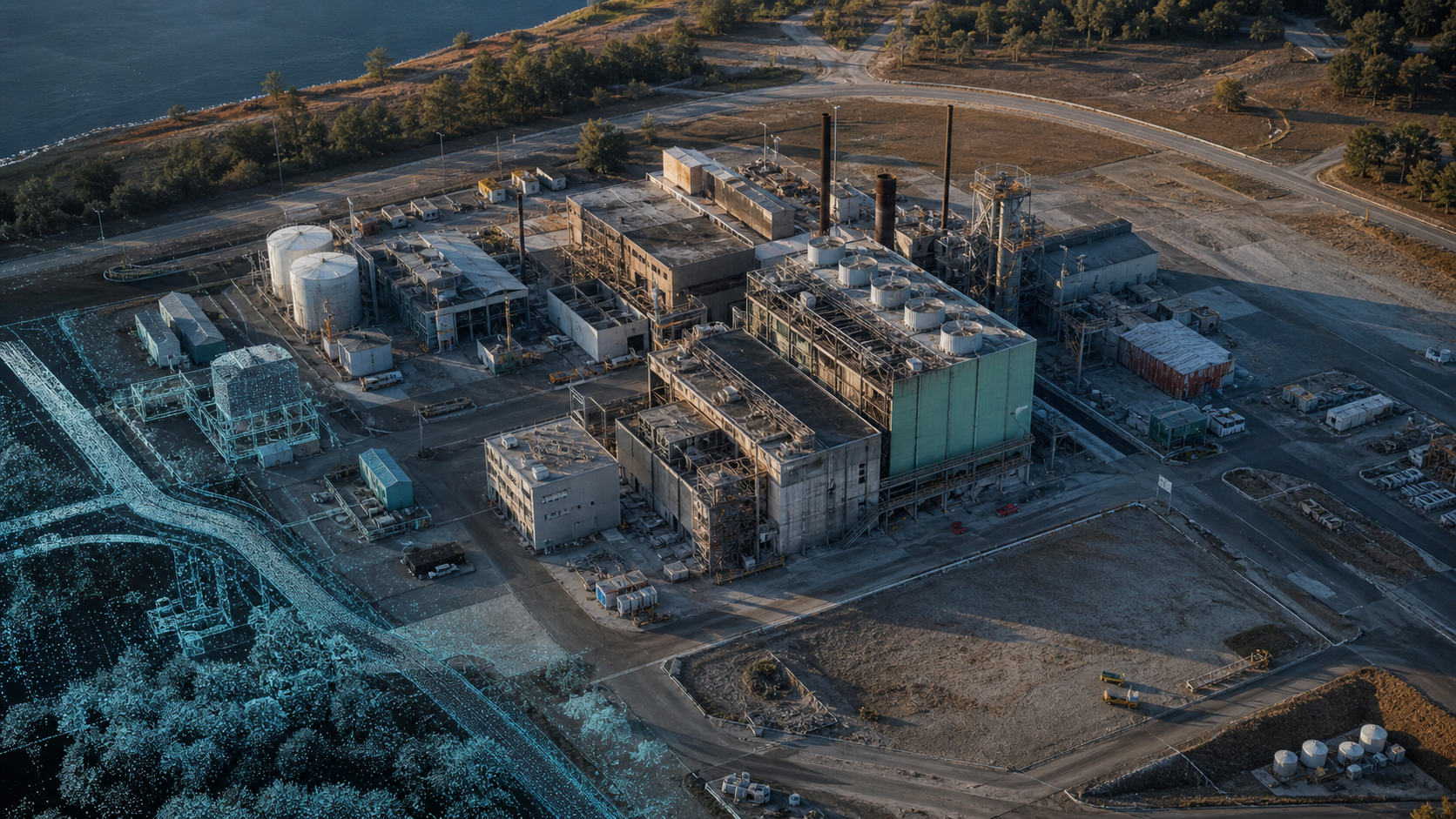
LiDAR systems facilitate the rapid acquisition of spatial data by emitting laser pulses that reflect off surfaces to create a comprehensive point cloud. This dense dataset allows engineers to detect structural deformation, such as the "lean" or "twist" in transmission towers, measured in fractions of an inch. By establishing a baseline geometric profile during the initial infrastructure inspection, subsequent scans can identify minute shifts in structural alignment that signify potential failure points. This data-driven approach eliminates the estimation errors inherent in manual visual assessments.

Photogrammetry and Visual Documentation

Photogrammetric processing transforms thousands of high-resolution 2D photographs into measurable 3D meshes through sophisticated triangulation algorithms. This technique is the industry standard for a building facade drone survey, providing a continuous, color-mapped record of the building envelope. The resulting models allow for the precise measurement of cracks, spalling, or sealant failures directly within a digital environment. These color-accurate reconstructions ensure that visual documentation remains an integral component of the broader engineering intelligence workflow.

Transforming Raw Data into Engineering Intelligence

Engineering intelligence represents the synthesis of high-fidelity spatial data and automated analytical workflows. Unlike traditional photography, which provides static visual records, this intelligence layer delivers evidence-based datasets that support objective engineering assessments. The transition from raw sensor output to actionable insight requires a structured data-to-decision framework. This ensures that every infrastructure inspection cycle contributes to a longitudinal record of asset health, enabling technical teams to predict structural degradation before failure occurs. The focus is on the transformation of pixel-based imagery into actionable engineering metrics.

AI-Driven Geospatial Analytics for Predictive Maintenance

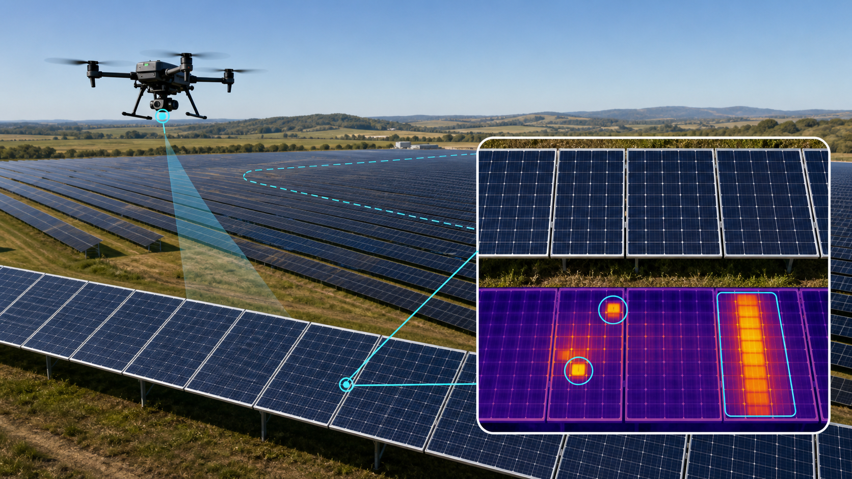
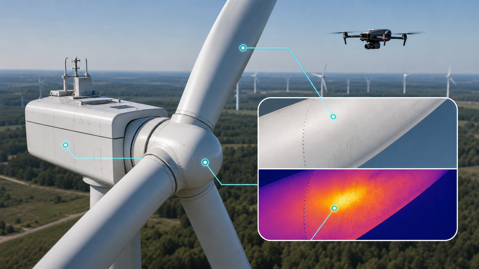
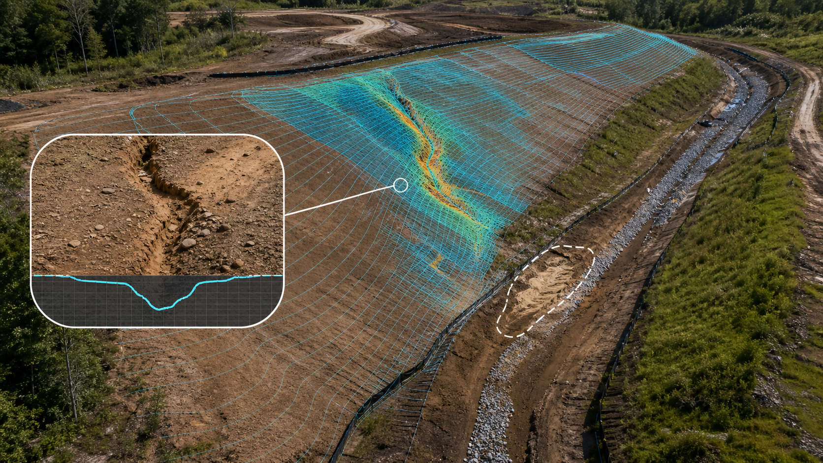
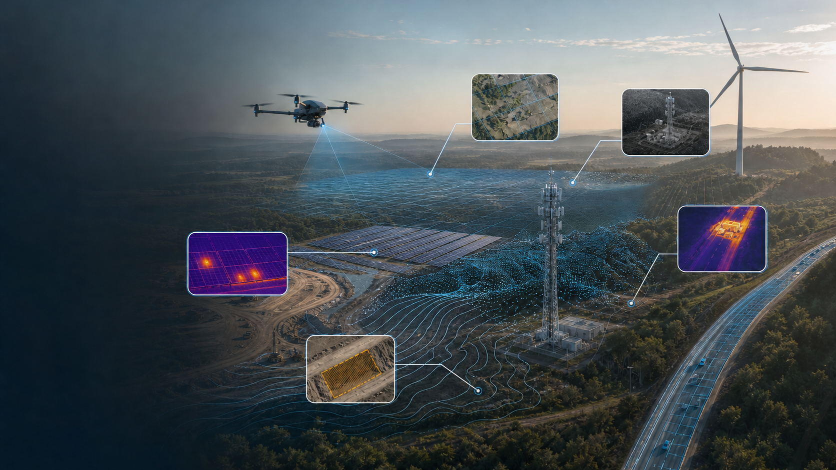
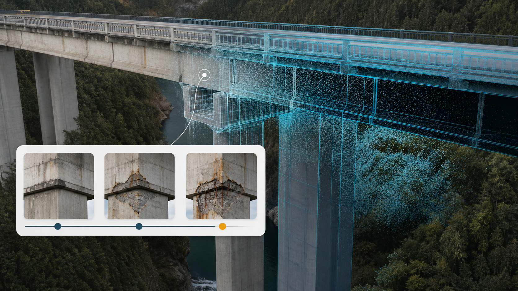
The integration of machine learning algorithms into the post-processing phase allows for the autonomous identification of critical defects. These AI models are trained to recognize patterns indicative of structural compromise, such as hairline fractures in concrete, oxidation on steel members, or subtle soil erosion at asset foundations. By incorporating drone thermal imaging inspection, analysts can also detect subsurface thermal anomalies that indicate moisture ingress or electrical overheating. This multi-sensor approach provides a comprehensive diagnostic profile that human visual observation alone cannot achieve. It facilitates a shift from reactive repairs to proactive asset preservation.

Evidence-Based Information for Compliance

Repeatable data workflows are essential for maintaining adherence to national safety standards and providing a verifiable audit trail for regulatory bodies. Digital records generated through autonomous capture provide a timestamped, geo-referenced baseline that facilitates year-over-year comparison of asset conditions. This level of transparency is critical for risk mitigation and strategic industrial application. Organizations seeking to modernize their data oversight can leverage DroneWorksIQ's specialized data analysis to bridge the gap between aerial capture and actionable engineering reports. The result is a defensible, evidence-based documentation system that supports long-term asset integrity.

Infrastructure inspection

Strategic Implementation: Asset Lifecycle Management

The successful deployment of modern infrastructure inspection protocols requires a structured 5-step integration framework to move from raw data capture to enterprise-wide utility. This systematic approach ensures that aerial intelligence doesn't remain isolated but becomes a fundamental component of the asset management ecosystem. The framework includes: 1) Technical Objective Definition, 2) Autonomous Data Acquisition, 3) Geospatial Data Harmonization, 4) AI-Enhanced Feature Extraction, and 5) Enterprise System Integration. By following this methodology, organizations can synchronize high-fidelity drone data with existing GIS and BIM platforms, creating a seamless flow of information that informs every stage of the asset lifecycle.

Digital Twins and the Asset Lifecycle

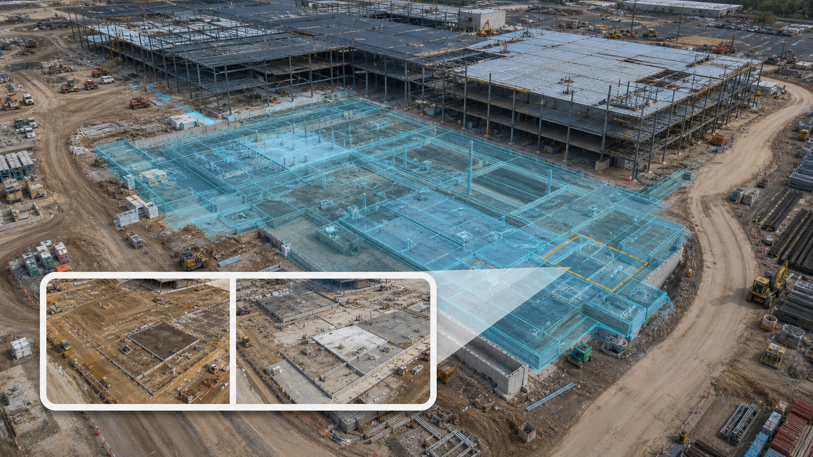
An infrastructure digital twin acts as a high-fidelity, living record that reflects the current physical state of an asset in a virtual environment. These models allow for the longitudinal tracking of structural health, providing a basis for predictive maintenance schedules that extend asset longevity. For linear assets, such as those managed via drone pipeline inspection services, digital twins facilitate continuous monitoring over vast distances, identifying localized issues like erosion or encroachment before they escalate into systemic failures. The primary ROI of this autonomous approach is found in the significant reduction of operational downtime and the elimination of the high costs associated with manual, reactive repairs.

Key Takeaway: The Data-to-Decision Workflow

Modernized infrastructure inspection is defined by an integrated platform that manages the entire lifecycle of data from flight planning through to final documentation. This workflow prioritizes technical clarity and evidentiary depth, ensuring that every stakeholders' decision is backed by repeatable, high-accuracy geospatial intelligence. Engineering Intelligence is the transformation of multi-sensor geospatial data into a definitive, evidence-based foundation for strategic industrial decision-making.

Visual Title: The Infrastructure Intelligence Workflow

Design Aesthetic: Clean, minimalist design featuring a white background with high-contrast, black text for maximum readability. The layout should utilize a linear flow diagram showing the progression from 'Autonomous Capture' to 'AI-Driven Analysis' to 'Strategic Engineering Decision'.

Advance to Engineering-Grade Oversight

The transition from subjective visual monitoring to autonomous data-driven oversight represents a critical pivot for enterprise asset management. By integrating high-density LiDAR and AI-enhanced analytics, organizations move beyond simple imagery into the domain of actionable engineering intelligence. This methodology addresses the systemic limitations of manual assessments while establishing a repeatable, evidence-based baseline for structural health. Modernizing your infrastructure inspection strategy ensures that technical decisions are predicated on precision rather than estimation. It's the only viable path to maintaining compliance in an environment of aging assets and increasing regulatory rigor.

As organizations scale these autonomous workflows, partnering with specialists in industrial robotics like EdNex Automation can further optimize the deployment of advanced sensing and automation technologies across diverse industrial sectors.

DroneWorksIQ operates as a strategic partner providing an integrated platform for the comprehensive data-to-decision workflow. Our national enterprise-grade service coverage ensures the delivery of accurate, repeatable, and evidence-based data across the entire asset lifecycle. Transform your drone data into engineering intelligence with DroneWorksIQ to leverage high-performance geospatial insights. Implementing these advanced analytical frameworks today guarantees the long-term structural reliability of your critical infrastructure.

Frequently Asked Questions

What are the primary benefits of using drones for infrastructure inspection?

Drones provide a non-destructive methodology for accessing high-risk or inaccessible structural components without the requirement for heavy machinery, bucket trucks, or scaffolding. This autonomous approach facilitates the rapid acquisition of high-resolution datasets while mitigating the safety liabilities inherent in manual climbing and rope access. The resulting data streams are repeatable and timestamped, ensuring a consistent audit trail for regulatory compliance and long-term structural health monitoring.

How accurate is LiDAR data collection for engineering-grade inspections?

Modern aerial LiDAR systems achieve sub-2-inch relative accuracy, providing the geometric precision necessary for high-fidelity engineering models. These sensors utilize high-frequency laser pulses to generate dense 3D point clouds that capture minute structural details, such as the vertical alignment of transmission towers or the volume of soil erosion at a foundation. This level of precision is critical for detecting structural shifts and deformations that qualitative visual observation cannot quantify.

Once these structural shifts or foundation issues are identified through high-precision data, check out Airlift Concrete Experts for specialized polyurethane leveling and foundation stabilization services.

Can drones inspect pipelines and utility corridors over long distances?

Autonomous UAV systems are specifically engineered for the systematic monitoring of linear assets, including pipelines and high-voltage transmission corridors, over extensive distances. Utilizing long-endurance platforms and pre-programmed flight paths, these systems provide a continuous, geo-referenced record of the asset's condition across diverse geographical terrains. This methodology allows for the rapid identification of encroachment, leaks, or structural degradation without the logistical constraints and high costs of ground-based teams.

For enterprise managers who need to oversee these expansive operations in person, FlyEliteJets offers the flexible, on-demand travel solutions required to bridge the gap between regional offices and remote field locations.

How do digital twins improve infrastructure asset management?

A digital twin functions as a dynamic, virtual representation of a physical asset, integrating historical and real-time inspection data to inform strategic lifecycle planning. These models facilitate predictive maintenance by allowing engineers to monitor degradation patterns over time and simulate structural stress within a controlled digital environment. By centralizing disparate data points into a single 3D space, digital twins enhance the precision of long-term capital expenditure and maintenance decisions.

What is the difference between drone photogrammetry and LiDAR for inspections?

The primary distinction lies in the sensor methodology; LiDAR is an active sensing technology that uses lasers to map geometry through vegetation, while photogrammetry is a passive technique that reconstructs 3D models from overlapping 2D imagery. LiDAR provides superior geometric accuracy for structural analysis in complex environments, whereas photogrammetry delivers high-resolution visual documentation and color-accurate textures for surface defect identification. Most enterprise infrastructure inspection projects utilize a hybrid approach to maximize both geometric and visual fidelity.

streamline-erosion-monitoring-for-construction-sit.jpg

Preventing Construction Project Delays through Advanced Aerial Intelligence

Drone Forestry Applications

AI Aerial Image Analysis: Transforming Raw Data into Engineering Intelligence

Aerial Intelligence for Infrastructure Management: The Enterprise Platform Framework

Construction Intel Drone Survey: A Strategic Framework for Aerial Intelligence

Autonomous Aerial Data Collection: The Enterprise Strategic Framework for 2026

Construction Site Drone Mapping: An Enterprise Operational Readiness Checklist

Accurate Bridge 3D Reconstruction for Better Inspections

AI Vision Training: Optimizing with High-Quality Drone Footage

Infrastructure Inspection: Advanced Aerial Intelligence and Engineering Data Integration

Enterprise Drone Surveying Companies: A Strategic Selection Guide for 2026

Enterprise Geospatial Data Consulting: A Strategic Framework for Infrastructure Intelligence

LiDAR Terrain Analysis: A Technical Guide to High-Precision Geospatial Intelligence

How to Integrate Drone Data for Asset Management: An Enterprise Framework

Modernize Municipal Inspections with Drone Technology

Maximize Crop Yields with Drone Stand Count Analysis

LiDAR Point Cloud Analysis: Transforming Raw Data into Engineering Intelligence

LiDAR Digital Twin Services: An Enterprise Procurement and Implementation Framework (2026)

Drone Thermal Imaging Inspection: An Enterprise Reference for Asset Intelligence (2026)

Agri-Health Aerial Imaging: A Strategic Framework for Enterprise Crop Intelligence

INSIGHTS

ALL RIGHTS RESERVED | COPYRIGHT 2026

Innovating the future of aerial intelligence.

bottom of page